
A map of the general area.
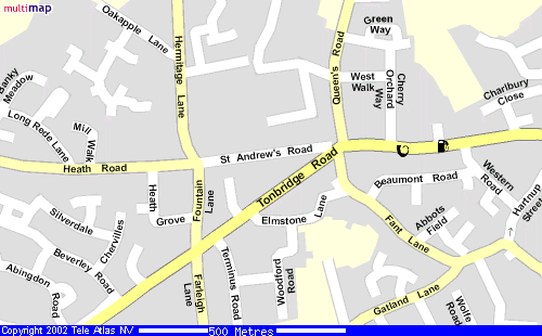
The local streetmap.
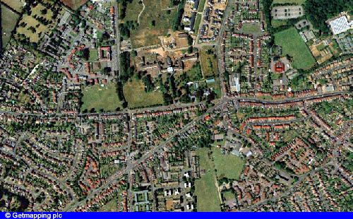
The view from above.
LOCATION: St Andrews Church, St Andrews Road, Barming, Maidstone.
SAT. NAVs: Use the post code ME16 9LS
Or "skip.jams.caring" for What 3 words
FROM M20: Exit at junction 5, then turn right at the roundabout with the A20. After 100 yrds. turn left at the traffic lights into Hermitage Lane [ signposted to 'Hospital' and ' Barming']. Continue past the Hospital on your left, then turn left at the traffic lights into St. Andrews Road.
FROM A26 WEST: Approx. 2 miles before Maidstone town at Barming, turn left at the traffic lights into Fountain Lane [ signposted to 'Hospital' and 'M20']. After 100 yrds. turn right at the traffic lights into St.Andrews Road.
FROM A26 EAST [ MAIDSTONE TOWN]: Approx 2 miles out of the town at Barming, turn right at the traffic lights into Fountain Lane [signposted to 'Hospital' and 'M20']. After 100 yrds. turn right at the traffic lights into St. Andrews Road.
The Church is at the far end of the road which is a cul-de-sac.
The Church also has frontage on the A26 but as this is a main road parking is difficult, and on the Church side of the road is disallowed by double yellow lines.